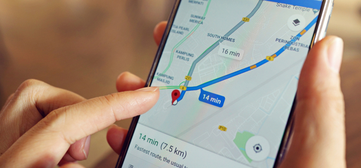
Google Maps is great for directions, but you can use it for so much more when travelling.
Here are just some of the ways you can use Google Maps to its fullest on your next trip.
Creating road trip routes
Whether you are travelling around Australia or taking a road trip in another country, Google Maps easily allows you to plan your road trip, adding in as many stops as you want to make. The advantages of using the app for trip planning is that it will tell you exactly how long each leg will take.
Create an idea itinerary
You can look for all the places you want to go to while you are travelling and save them in advance. All you need to do is find the place where you would like to go, hit the bottom bar with the place’s name and click save. You can then save your itinerary in a pre-made list or create a new one.
Save maps for offline use
Some places you travel to will have little to no internet. The offline maps feature lets you download map data for use without an internet connection. Then you can use the map to navigate routes as easily as if you were online. This can be a valuable way to save money on data while you are travelling overseas.
Skip the queues
Google’s ‘popular times’ feature allows you to check when an attraction is likely to be busiest and even provides a live update of how busy it is right now.
Find where you are staying the easy way
If you are staying at an apartment or even a house with Airbnb, it can be helpful to know what the building looks like in advance. Google has photos of just about everywhere, and you can use these so you know what you are looking for when you arrive. When you are in Google Maps, click hold and drag the yellow person icon from the bottom right of your screen to the area you want to see, then your map will automatically switch to street view so you can take a closer look.
Creating a travel diary
I covered this a little earlier this year, but if your memory is fading you can use Google Maps to log your journey, rather than taking notes and filling out a manual travel journey planner.
Save your parking location
You might find it easy to find your own car in a parking lot, but it is a lot more difficult with a rental car, when you are travelling, as they all look just that little bit less familiar. Google Maps has a way to solve this problem for you, and you can even use this function for your local shopping trips.
Drive hands free
If you have an android phone, you don’t need to type in your instructions or even glance at your phone while you are driving as it is possible to use voice commands. Just preface your request with ‘Hey, Google’ and let your phone tell you the information, it will make your driving experience, especially on foreign roads, significantly safer.
Find out what is close
One of the hardest parts of being in a strange place is not knowing how to find conveniences. Just tap the search bar at the top of the mobile app and you will be able to discover anything you want that is nearby, whether that be restaurants, pharmacies, petrol stations or theatres.
Measure your walks
Want to know exactly how far it is to walk? It is possible to precisely measure the distance between two points using Google Maps. Just tap and hold your finger on the starting point, which will cause a red pin to appear along with a white bar showing information about the location. Swipe up on the bar in iOS or tap the bar in Android and select the ‘measure distance’ option. Then use your finger and the blue plus icon to mark the second point on the map.
Do you use Google Maps when travelling? What features have you discovered?
If you enjoy our content, don’t keep it to yourself. Share our free eNews with your friends and encourage them to sign up.
Related articles:
https://www.yourlifechoices.com.au/travel/news/we-love-vilnius-new-travel-campaign
https://www.yourlifechoices.com.au/travel/self-drive-holidays/ubers-car-rental-option
https://www.yourlifechoices.com.au/travel/travel-qanda/do-you-need-a-border-passport

